The essentials of Parque Natural de la Sierra de la Pila

  • • Pico de la Pila at 1,264 m with Mediterranean views 60 km away on clear days
  • • Dense holm oak and Aleppo pine forests on north-facing slopes, unusual for the Murcia climate
  • • Stable populations of Iberian wild goat, golden eagle and endangered spur-thighed tortoise
  • • Barranco de la Higuera trail through limestone walls to spring areas with riparian vegetation
  • • La Muela recreation area with tables, fountains and barbecue pits as the main trailhead

Description

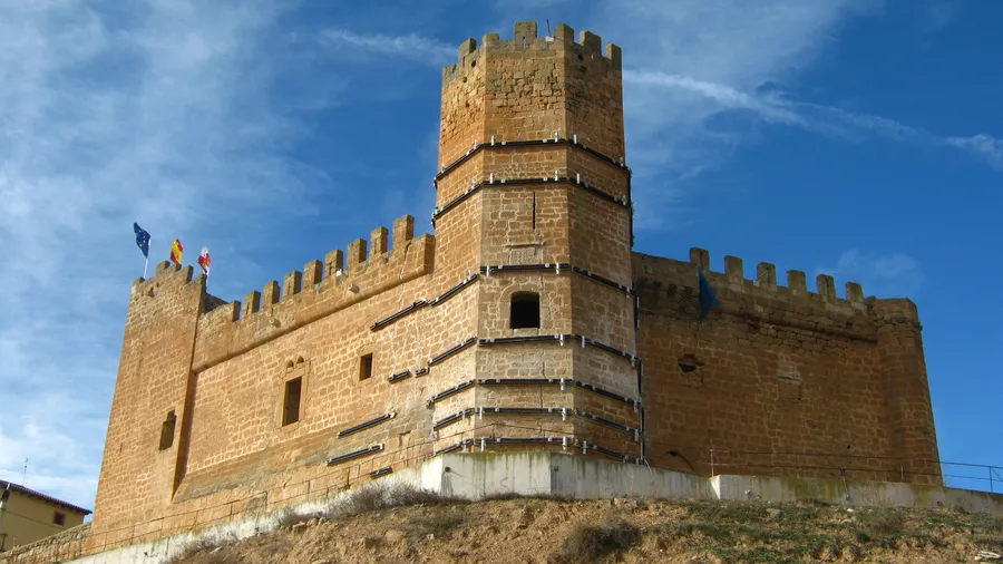
The Parque Natural de la Sierra de la Pila extends over 8,836 hectares in the northwest of the Region of Murcia, between the municipalities of Abarán, Blanca, Fortuna, Jumilla and Molina de Segura. The range acts as a geographical hinge between the Segura depression to the south and the Jumilla highlands to the north, with elevations from 300 metres in the peripheral ravines to 1,264 metres at Pico de la Pila, its highest point. From that summit, on clear days, the Mediterranean coastline is visible roughly 60 km away in a straight line, with the dry profiles of the Quibas and Buey ranges to the north.

Geology defines the character of this park. The massif is an anticline of Cretaceous and Jurassic limestones and dolomites, folded during the Alpine orogeny and fractured by faults that have created deep ravines and vertical cliffs. Where limestone meets marl, springs emerge that sustain riparian vegetation in an otherwise semi-arid environment: the springs of the Rambla del Agua and Barranco de la Higuera feed small groves of poplars, elms and oleanders that contrast with the surrounding aridity. The scent of thyme and rosemary fills the trails, especially on spring mornings after rain.

The plant cover combines Mediterranean formations in good conservation condition. On the wetter north-facing slopes, dense holm oak stands and Aleppo pine forests grow to 15 metres in height. South-facing slopes are dominated by esparto grass, rosemary, thyme and gorse scrub, with kermes oak on stony ground. The range supports stable populations of golden eagle and Eurasian eagle-owl, along with Iberian wild goat, wildcat and common genet. In the low scrub areas, the spur-thighed tortoise — an endangered species — maintains one of its most northerly populations on the Peninsula.

Hiking routes cater to different levels. The ascent of Pico de la Pila from the La Muela recreation area (8.5 km return, 600 m elevation gain) is the main route, with ridge sections requiring sure footing. The Barranco de la Higuera trail (5 km) descends between limestone walls to a spring area with riparian vegetation. For mountain biking, the forest tracks in the northern sector allow circular rides of 15–20 km with moderate climb. Sport climbing is developing on the cliffs of the eastern face.

The park functions as an ecological corridor between the Sierra Espuña protected areas to the west and the Jumilla-Yecla highland ranges to the north. Its designation as a natural park by the Murcia regional government in 1992 protects both the forest habitats and the geological formations. The La Muela recreation area, at the foot of the range on the southern side, has tables, fountains, barbecue pits and parking, and is the most common starting point for hiking routes. On spring and autumn weekends, the area fills with local families combining a barbecue with a short walk to the Barranco de la Higuera or the southern viewpoints.

Practical information

Everything you need to know for your visit to Parque Natural de la Sierra de la Pila

How to get there
From Murcia city, take the A-30 towards Albacete to the Fortuna/Abarán exit (about 40 km, 30 min). From there, the MU-414 climbs to the La Muela recreation area. From Alicante, take the A-7 towards Murcia then the A-30 towards Fortuna (about 80 km, 1 h). There is no direct public transport to the park.
Area Information
The La Muela recreation area (southern slope) has tables, fountains, barbecue pits and free parking. There is no official visitor centre inside the park. Fortuna and Abarán, the nearest towns, have accommodation, restaurants and supermarkets. Fortuna also has a historic thermal spa.
Geography
Anticline of Cretaceous and Jurassic limestones and dolomites, folded during the Alpine orogeny. Elevation from 300 to 1,264 m (Pico de la Pila). Deep ravines carved along fault lines, with springs at limestone-marl contacts. The range connects the Segura depression with the Jumilla highland.
Flora & Fauna
Holm oaks, Aleppo pine, kermes oak, esparto grass, rosemary and thyme depending on aspect and altitude. Notable fauna: Iberian wild goat, wildcat, common genet, golden eagle, Eurasian eagle-owl and spur-thighed tortoise (endangered). Springs in the Barranco de la Higuera sustain poplars and oleanders amid the aridity.

Things to do

Find the best plans and things to do in Parque Natural de la Sierra de la Pila

20

Accommodations

Best accommodation options in Parque Natural de la Sierra de la Pila

Loading accommodation options...

Frequently Asked Questions

Get answers about Parque Natural de la Sierra de la Pila

The route from the La Muela recreation area to Pico de la Pila is 8.5 km return with 600 metres of elevation gain. At a moderate pace it takes about 3.5–4 hours. The final sections involve exposed ridgeline that requires sure footing and some experience. It is not suitable for small children or those with vertigo.
Only the La Muela recreation area has drinking-water fountains. The natural springs at the Barranco de la Higuera and the Rambla del Agua are not safe to drink without treatment. Carry at least 1.5 litres per person in winter and 2–3 litres in warmer months, as heat and sun exposure significantly increase water consumption.
The La Muela recreation area has free barbecue pits. However, their use is restricted or banned during high wildfire-risk periods, which in Murcia typically run from June to October. Check current restrictions on the Murcia regional government's Natural Environment website before visiting.
Yes, the range supports a stable Iberian wild goat population. The best chances of sighting them are at dawn and dusk, especially in autumn and winter, when the goats descend to mid-elevations to feed. The cliffs on the eastern face and the ridges near Pico de la Pila are the areas with highest presence.
The La Muela recreation area is ideal for families, with tables, shade and open space. The Barranco de la Higuera trail (5 km, gentle gradient) is feasible with children aged 6–7 and up. The Pico de la Pila ascent is not recommended for children due to exposed ridgeline. In summer, extreme heat limits options to early morning hours.