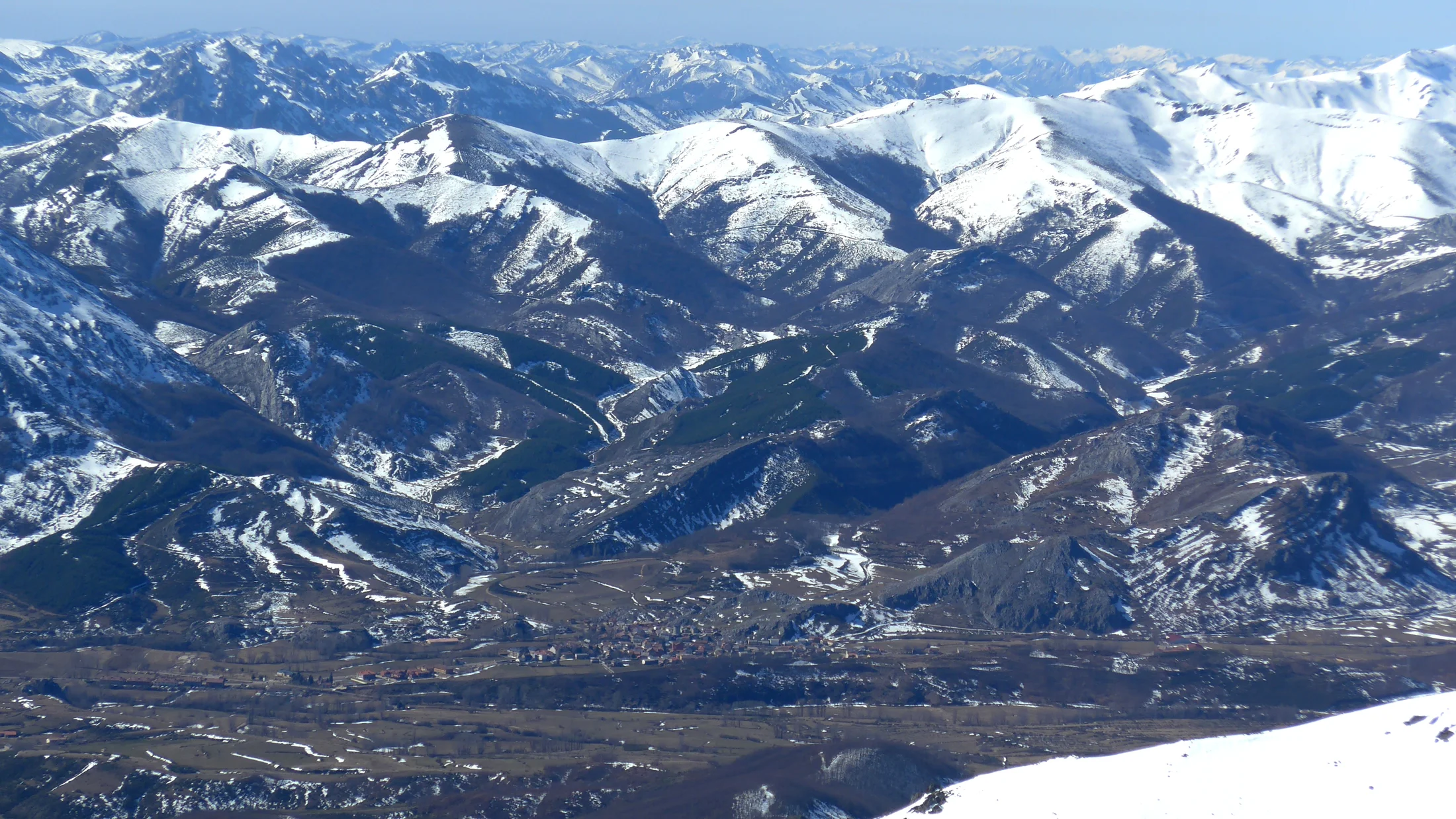
The Cordillera Cantábrica is the mountain system separating the Atlantic coastal strip of northern Spain — Asturias, Cantabria, northern Castilla y León and eastern Galicia — from the Castilian Meseta. It runs west to east for approximately 480 kilometres, from the mountains of eastern Galicia to the Pyrenees at the Basque border, reaching its highest point at Pico Torre Cerredo (2,648 m) in the Picos de Europa, with notable secondary summits including the Torre Massif (2,640 m) and Cueto Albo (2,437 m) in the Palencia mountains. The contrast between the two flanks is stark: to the north, Atlantic winds hit the barrier and deposit rainfall exceeding 1,600 mm annually in some areas, feeding rivers such as the Nalón, Sella, Nansa and Pas; to the south, the Meseta sits in rain shadow with dry continental conditions.
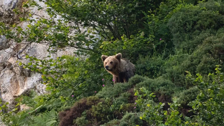
The Cordillera Cantábrica holds the highest vertebrate biodiversity of any mountain area on the Iberian Peninsula. The Cantabrian brown bear (Ursus arctos), with a population estimated around 350 individuals in 2023, is in clear expansion after decades of decline: the eastern sub-population occupies the Picos de Europa and Palencia mountains, while the western sub-population extends from the Asturian ranges to the Bierzo in León. The Cantabrian capercaillie (Tetrao urogallus cantabricus), a critically endangered endemic subspecies, inhabits the oak and beech forests of the central Cantabrian mountains. The Iberian wolf, Cantabrian chamois, griffon vulture and golden eagle complete the roster of large vertebrates that make this range one of the few places in western Europe where wild megafauna coexists with livestock farming and forestry.
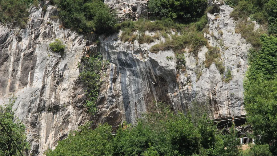
The Picos de Europa is the most well-known massif in the range and concentrates the greatest density of mountain activities. The Cares river gorges — the Desfiladero de los Beyos on the Sella and the Desfiladero del Río Cares between Caín and Poncebos — are two of the most walked hiking routes in Spain, their paths carved into limestone cliffs that allow walking at mid-slope above the river. But the Cordillera Cantábrica has far more territory beyond the Picos de Europa: the Montaña Palentina with the Fuentes Carrionas valley and Espigüete (2,450 m); the Liébana in Cantabria, with Pico Tres Mares (2,175 m) as the hydrographic divide between the Cantabrian, Mediterranean and Atlantic; the Mampodre valleys and the Nalón headwaters in Asturias; and the upper Sil area in León.
Mountain sports in the Cordillera Cantábrica range from single-day valley walks to technical high-mountain terrain on the limestone ridges of the Picos de Europa. Canyoning is common on fast-cutting rivers: the Río Cares, Río Casaño and Río Duje in the Picos have sections with rappels and swimming passages. Mountain biking has a network of trails in the Montaña Palentina and Asturian valleys connecting mountain refuges and passes historically used by transhumant livestock. Skiing is practised at small resorts including Alto Campoo (Cantabria), San Isidro and Leitariegos (Asturias) and La Majúa in León, between 1,600 and 2,200 metres altitude, with a profile more oriented to Nordic and cross-country skiing than to large alpine operations.