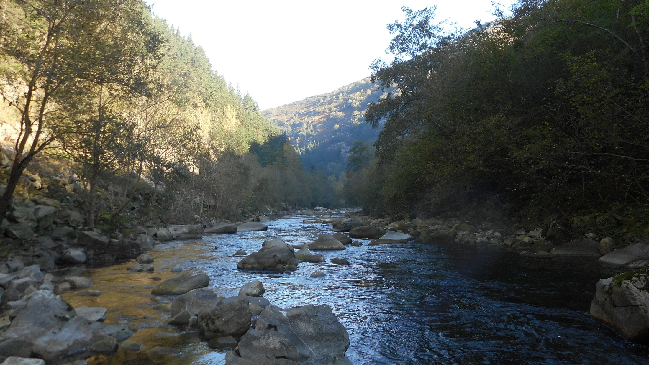
Besaya Valley
The essentials of Besaya Valley
- • 47 km historic corridor between the Cantabrian coast and Castilla
- • Roman road of the Blendios
- • Riocorvo: heritage site with 17th-century baroque mansions
- • Romanesque church of Santa Maria de Yermo (1203)
- • El Castillo Cave: UNESCO World Heritage rock art
Description
Practical information
Everything you need to know for your visit to Besaya Valley
How to get there
How to get there
Accommodations
Best accommodation options in Besaya Valley
Frequently Asked Questions
Get answers about Besaya Valley
How to explore the Besaya Valley?
The A-67 follows the valley north to south. For villages, take local roads. The Via Verde del Besaya (cycling/hiking) covers part of the route.
Which villages to visit?
Riocorvo (heritage, baroque mansions), San Felices de Buelna (Pero Nino Tower), Bostronizo (San Roman de Moroso hermitage) and Barcena de Pie de Concha.
Best time?
Spring and autumn. Summer is pleasant for outdoor routes.