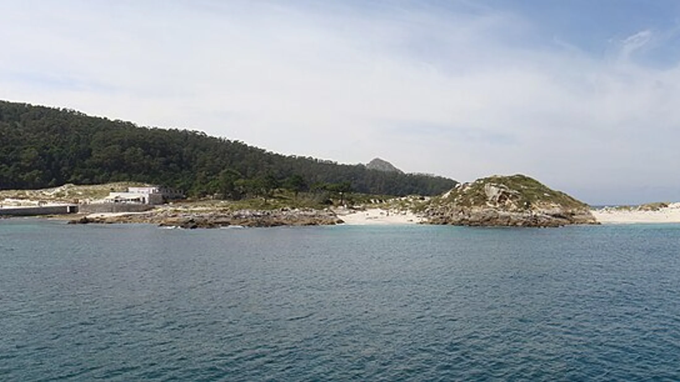
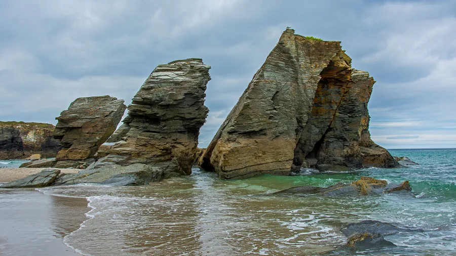
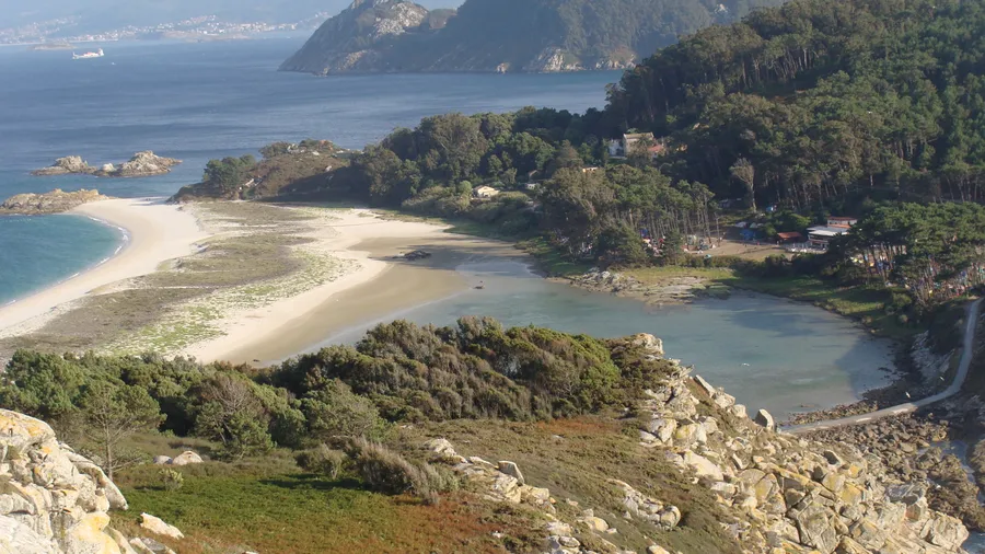
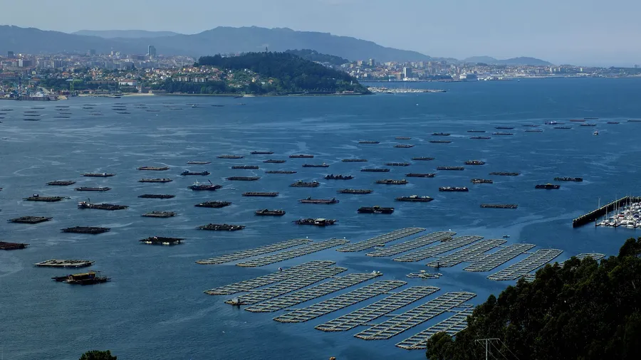
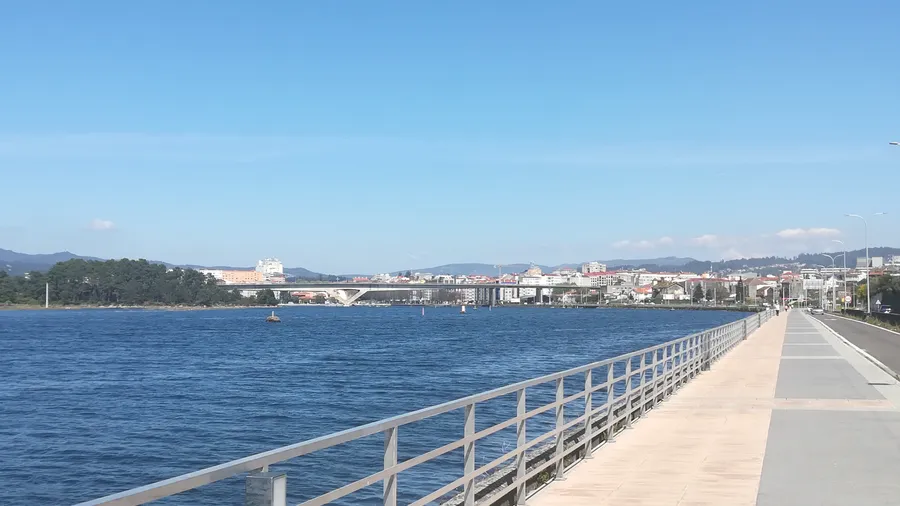
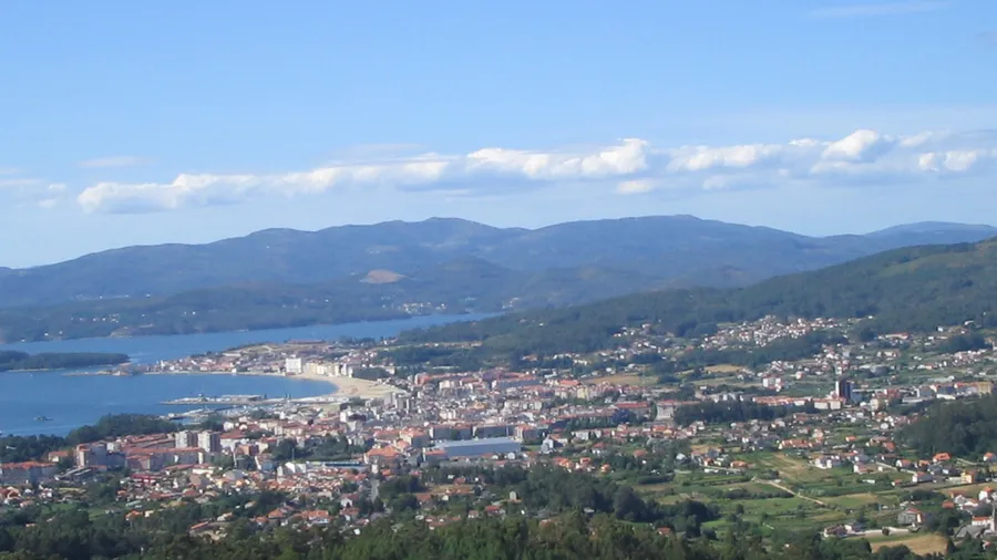
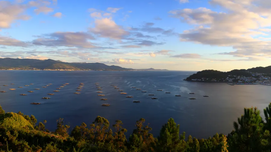
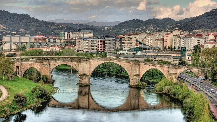
Galicia has 1,500 kilometres of Atlantic coast shaped by the rías: deep sea inlets carved into river valleys that create one of the most extensive sheltered-water systems in Europe. The Rías Baixas and Rías Altas have different water temperatures, different swells and their own ecosystems. Sea kayaking, surfing, sailing and spearfishing share the same coastline with mussel platforms and oyster beds that supply the local cuisine.
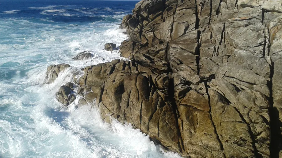
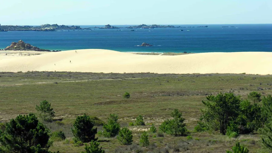
The north coast concentrates some of the best surf spots on the Ib...
Galicia has 1,500 kilometres of Atlantic coast shaped by the rías: deep sea inlets carved into river valleys that create one of the most extensive sheltered-water systems in Europe. The Rías Baixas and Rías Altas have different water temperatures, different swells and their own ecosystems. Sea kayaking, surfing, sailing and spearfishing share the same coastline with mussel platforms and oyster beds that supply the local cuisine.
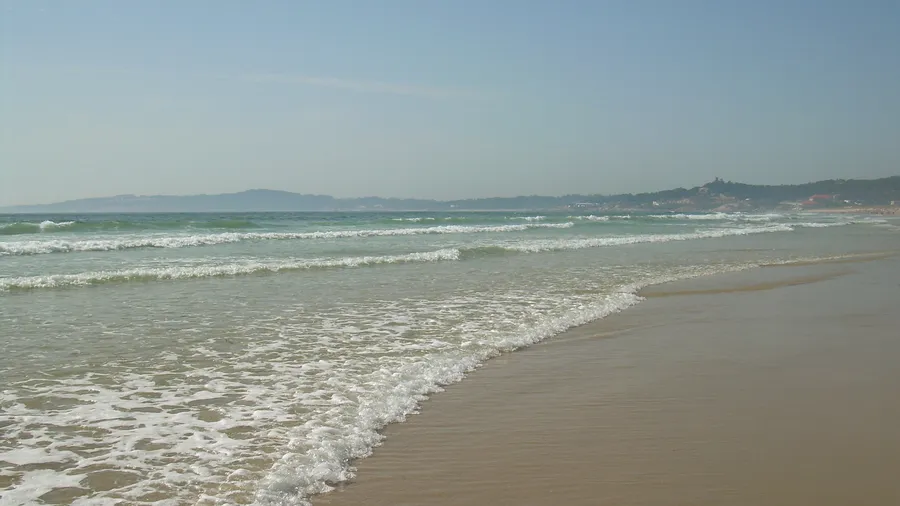
The north coast concentrates some of the best surf spots on the Iberian Peninsula. A Lanzada, on the Pontevedra estuary, has long waves that work in any wind. Pantín, on the A Coruña coast, hosts a European championship each autumn and attracts international competitors. The Atlantic groundswell arrives with no continental shelf to slow it, producing quality waves even on locally windless days.
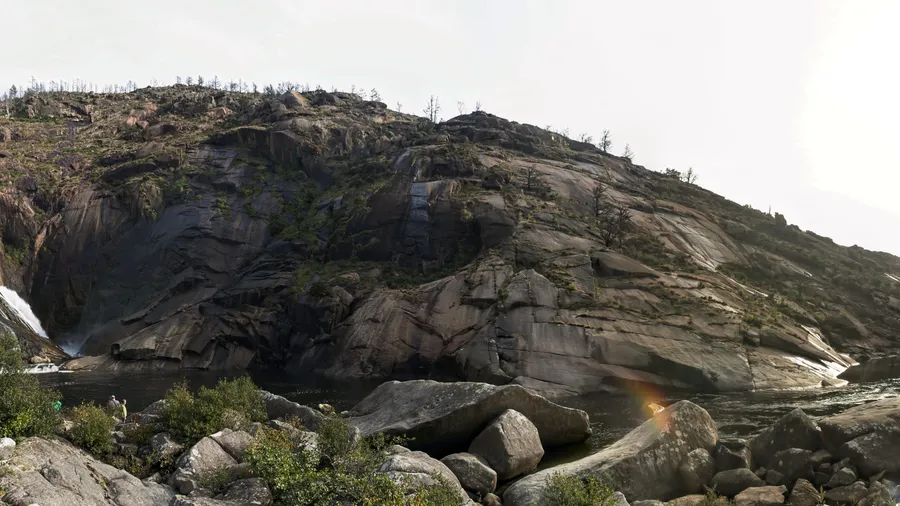
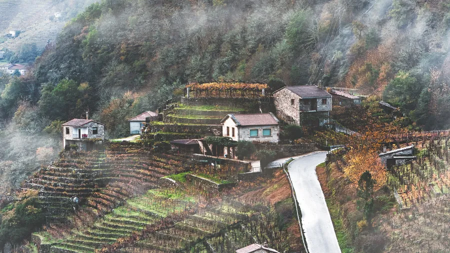
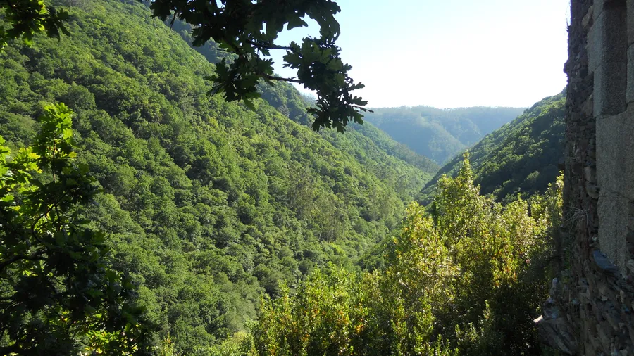
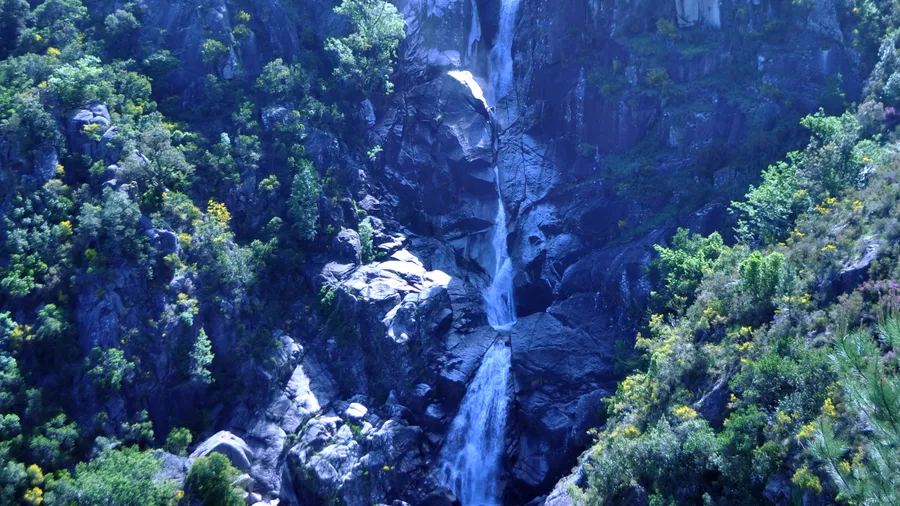
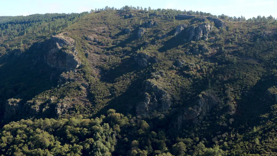
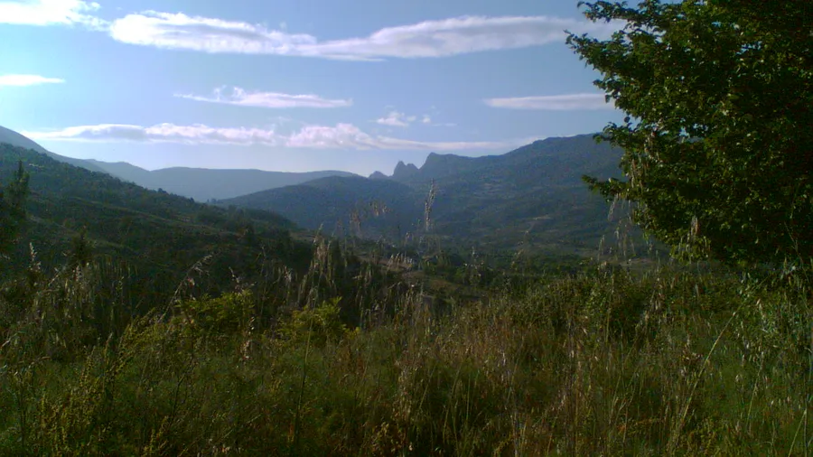
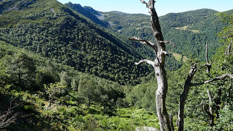
Inland, the Ancares and Courel ranges preserve oak and birch forest with stone villages and granary stores that document centuries of rural economy. Canyoning in the Fragas do Eume —the largest Atlantic forest on the Peninsula, with three-metre tree ferns— combines waterfall descents with ancient vegetation. The Meira range and the Pena Trevinca massif, at 2,127 metres, offer accessible high-mountain terrain.
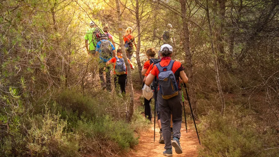
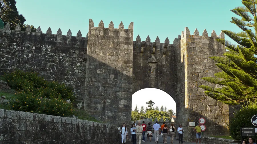
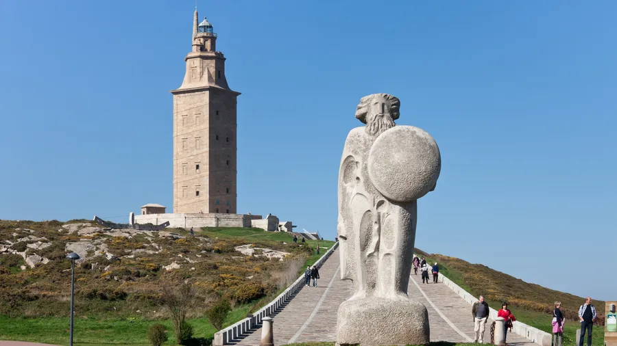
The Camino de Santiago connects the territory through multiple variants: the Camino Francés enters via O Cebreiro; the Camino Portugués climbs from Tui and A Guarda; the Camino del Norte arrives from Ribadeo. Galicia holds the final 100-300 kilometres of the main pilgrimage routes, making it the most-walked long-distance hiking destination in western Europe.
Highlights
• Surfing at Pantín and A Lanzada on unbroken Atlantic swell
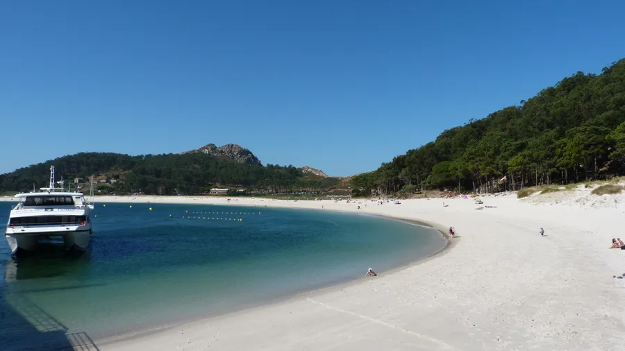
• Sea kayaking through the Rías Baixas and Rías Altas estuaries
• Canyoning in Fragas do Eume, the Peninsula's largest Atlantic forest
• Camino Francés, Portugués and del Norte: the final miles before Santiago
• High-mountain terrain in the Ancares range and Pena Trevinca at 2,127 m
• Hiking through stone villages and oak forests in the Ancares mountains
Best time to visit
May to September for hiking and kayaking in the rías with long days and mild temperatures. October to March for surfing with consistent Atlantic swell. The Camino de Santiago can be walked year-round; spring (April-June) offers the best balance of weather and pilgrim traffic.
Practical tips
Galician weather changes quickly: always carry a rain jacket even if the morning sky is clear. For the Camino de Santiago, Galician stages have municipal hostels at 6-12€ per night, but in peak season (July-August) book at least 48 hours ahead. For canyoning in Fragas do Eume, the park has limited capacity; book with the guide company before travelling. Pantín surf spot has free parking but it fills on competition days in September.
October to March is the peak surf season in Galicia. Atlantic storms generate consistent 1.5 to 3-metre swells at spots like Pantín, Valdoviño and A Lanzada. In summer the sea is usually calmer, but surf school availability is higher.
Which Camino de Santiago variant do you recommend for 7-10 days?
The Camino Portugués from Tui or Pontevedra (around 120-170 km) is the most compact option for that timeframe. The coastal section from A Guarda is particularly rewarding along the estuaries. The Camino Inglés from Ferrol or A Coruña runs 75-120 km and is completed in 4-6 days.
Can you kayak in the Galician rías without experience?
Yes. The rías offer sheltered water with predictable currents, ideal for beginners. Operators in Arousa, Vigo and Pontevedra run half-day excursions with equipment and guide, requiring no prior experience. Open-coast sea kayaking requires specific training.
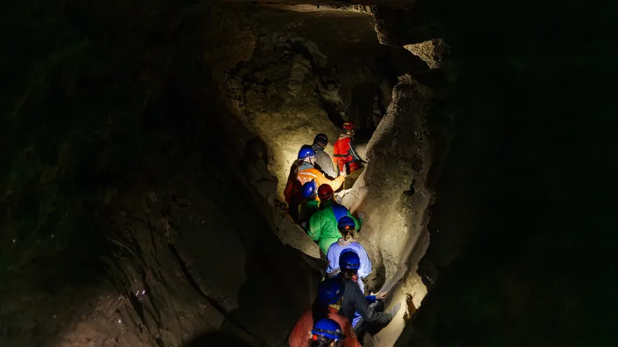
What is canyoning in the Fragas do Eume like?
The Fragas do Eume is a nature park holding one of Europe's best-preserved Atlantic riparian forests. Canyon descents on tributaries of the Eume river combine 2-5 metre water jumps, natural slides and cold pools. The basic route takes 3-4 hours and requires no technical experience.
How difficult is the ascent of Pena Trevinca?
Pena Trevinca (2,127 m, Galicia's highest point) is typically climbed from the Prada shelter on a 12-14 km route with 900 m of elevation gain. No mountaineering equipment is needed in summer, though access to the shelter requires a high-clearance vehicle or 4x4. In winter, compacted snow may require poles or crampons.